


Our journey began with a desire to understand how Geographic Information Systems (GIS) can be used to collect, manage, analyze, and visualize geographic information. At the beginning, we were introduced to the fundamentals of GIS, including spatial data, mapping, coordinate systems, and the importance of geographic information in modern decision-making.

As the training progressed, we moved from theory to practical learning. We gained hands-on experience in digital mapping, spatial data management, geographic analysis, and the use of GIS tools and technologies. Each stage of the training presented new challenges, but through commitment, teamwork, practice, and continuous learning, we continued to improve our skills.
The journey was not always easy. There were new concepts to understand, practical exercises to complete, and different GIS techniques to master. However, every challenge became an opportunity to learn and grow. Step by step, our confidence and understanding of GIS developed.

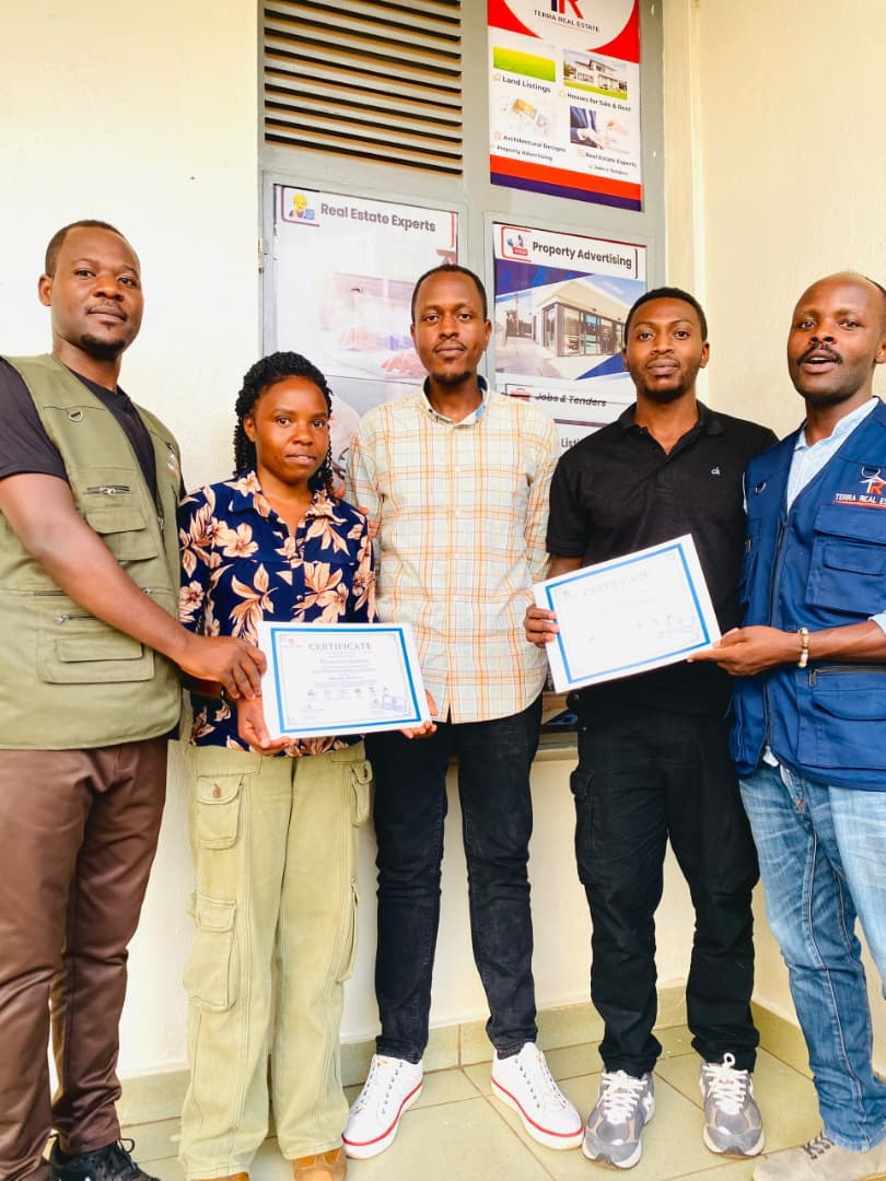
Today, we celebrate not only the certificates but also the journey behind them. This achievement marks a new chapter in our professional development and gives us an opportunity to apply our GIS knowledge in areas such as real estate, land management, mapping, planning, and spatial decision-making.
From the first lesson to the final certificate, this journey has been one of learning, growth, teamwork, and achievement. The journey may have reached a milestone, but our commitment to continuous learning continues.


